Skip to content
ND Bird Photography

Upper Souris NWR

National Wildlife Refuge · Souris River Loop · Souris River loop; Lake Darling reservoir and lower marshes, prairie potholes

DirectionsShow on map
NWRNational Wildlife RefugeVerified coordinates48.33971, -101.62047

Location

Loading map…

Verified coordinates from the source record. Still confirm the current entrance and road status before travelling.

Best windows

April to May and September to October for peak waterfowl; April for sharp-tailed grouse lekking

Peak months in the record: Apr, May, Sep, Oct

J
F
M
P
P
J
J
A
P
P
N
D

Sunrise, sunset, light and weather

Pick any day of the coming week for sunrise, sunset, the low-light windows and the forecast at Upper Souris NWR.

Working out this week's days…

Weather at Upper Souris NWR

Open the map for this day

Access, fees and cautions

Unverified access note

Access notes

3-mile Prairie-Marsh Scenic Drive (1 mile south of Lake Darling Dam) with viewing platforms and photo blinds. Observation tower over Lake Darling and the lower marshes. Sharp-tailed grouse lek blinds are reservable through the refuge (each holds up to 4 people, fewer with substantial camera gear; dawn or early evening use).

Fees

Free; blind reservations through refuge HQ

Cautions

Scenic Drive closes in winter, in muddy conditions, and during ND deer gun season. Reserve grouse blinds early; April fills fast.

Check current access

The notes on this page come from the guide's fixed records and can age. These links open what the managing agency publishes right now — always the last word on access.

Managing agency

U.S. Fish and Wildlife Service (National Wildlife Refuge)

Agency pages are found by searching the place name, so the search may list nearby units too — no page here is a stored link to a specific trailhead or gate.

Your access check

No access check recorded for this place yet. Once you have confirmed the current rules with USFWS, mark it here so you can see how fresh your information is.

This only records that you checked. It never changes the guide's access notes and is not a statement from any agency.

Leaves at this place

Live observation

When leaves turned colour

Historical evidence

Nobody publishes an open fall-colour peak map, so these are the dates volunteers recorded coloured leaves in North Dakota — a handful of plants at a handful of sites, not a statewide peak. Use the official reports below for the wider picture.

Leaf-out and leaf-colour timing: USA National Phenology Network (usanpn.org).

Birds linked to this place (2)

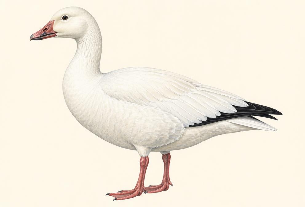
Painted illustration of a Snow Goose

Snow Goose

Waterfowl

Likely this monthFall migration
Spring
mid-March to late April
Fall
September to November

Tap for recent sightings, where to go and today's light →

Work flooded fields and pothole lakes at dawn and dusk for massive lift-offs; 'tornado' departures are the signature shot. Late March to early April concentrations can number in the hundreds of thousands.

Illustration, not a field photograph · Real photos on All About Birds
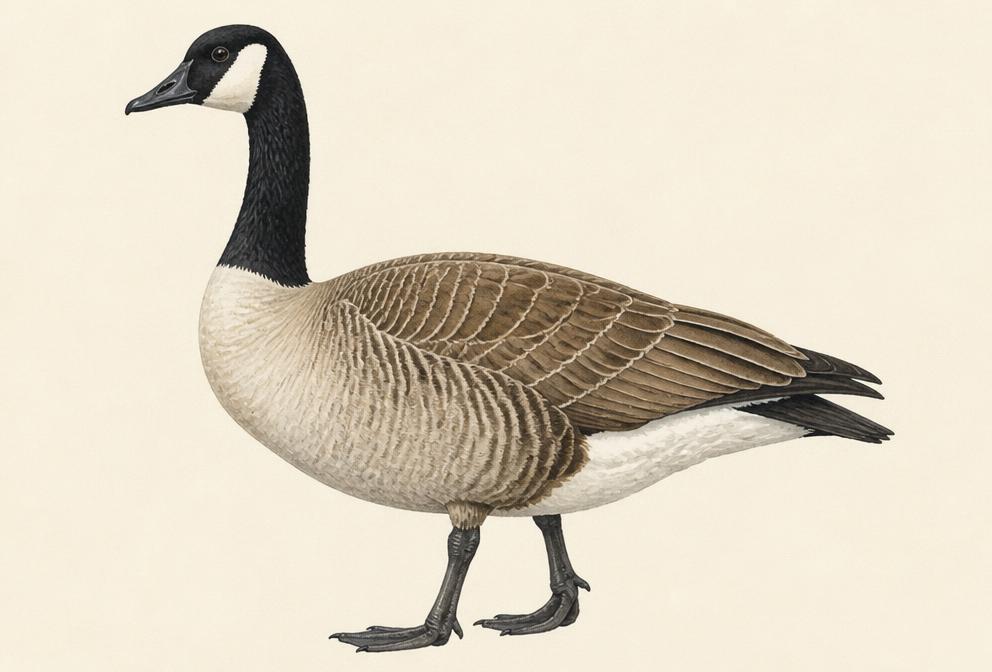
Painted illustration of a Canada Goose

Canada Goose

Waterfowl

Likely this monthFall migration
Spring
late February to early April
Fall
September to freeze-up (December); large numbers winter on open Missouri River water

Tap for recent sightings, where to go and today's light →

Backlit dawn takeoffs from river roosts near Bismarck give clean sky backgrounds minutes from home.

Illustration, not a field photograph · Real photos on All About Birds

Historical photo evidence (0)

These are historical public posts collected as supporting evidence. They are not live sightings and do not guarantee current bird activity. Photos are not copied here — each entry links to the original post.

No collected post is mapped to this place. Several posts name only free-text locations — see the evidence log for those.

DirectionsMap