Skip to content
ND Bird Photography

White Horse Hill National Game Preserve

National Wildlife Refuge · Devils Lake Basin · Devils Lake basin; 1,674 acres of woodland, mixed-grass prairie, and wetland on the south shore of Devils Lake

DirectionsShow on map
NWRNational Wildlife RefugeVerified coordinates47.98577, -98.97877

Location

Loading map…

Verified coordinates from the source record. Still confirm the current entrance and road status before travelling.

Best windows

May to October; the Vista Loop is open from World Migratory Bird Day (2nd Saturday in May) through National Wildlife Refuge Week (2nd week in October)

Peak months in the record: May, Jun, Sep, Oct

J
F
M
A
P
P
J
A
P
P
N
D

Sunrise, sunset, light and weather

Pick any day of the coming week for sunrise, sunset, the low-light windows and the forecast at White Horse Hill National Game Preserve.

Working out this week's days…

Weather at White Horse Hill National Game Preserve

Open the map for this day

Access, fees and cautions

Unverified access note

Access notes

4.5-mile auto tour from the ND-57 entrance (through the bison/elk enclosure; stay in vehicle except at designated areas). Visitor center; hiking trails (quarter-mile accessible concrete trail); White Horse Hill stairway climb with an overlook deck across Fort Totten Bay; prairie dog town viewing.

Fees

Free; no hunting permitted on the preserve by statute

Cautions

Bison and elk: keep distance, stay in vehicle in the enclosure. Devils Lake water levels affect shoreline access.

Check current access

The notes on this page come from the guide's fixed records and can age. These links open what the managing agency publishes right now — always the last word on access.

Managing agency

U.S. Fish and Wildlife Service (National Wildlife Refuge)

Agency pages are found by searching the place name, so the search may list nearby units too — no page here is a stored link to a specific trailhead or gate.

Your access check

No access check recorded for this place yet. Once you have confirmed the current rules with USFWS, mark it here so you can see how fresh your information is.

This only records that you checked. It never changes the guide's access notes and is not a statement from any agency.

Leaves at this place

Live observation

When leaves turned colour

Historical evidence

Nobody publishes an open fall-colour peak map, so these are the dates volunteers recorded coloured leaves in North Dakota — a handful of plants at a handful of sites, not a statewide peak. Use the official reports below for the wider picture.

Leaf-out and leaf-colour timing: USA National Phenology Network (usanpn.org).

Birds linked to this place (3)

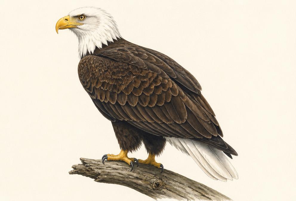
Painted illustration of a Bald Eagle

Bald Eagle

Raptors

Likely this monthFall migration
Spring
February to early April (nesting season)
Fall
September to November peak; many overwinter on open water

Tap for recent sightings, where to go and today's light →

The tailrace below Garrison Dam concentrates fishing eagles in late fall through winter; it is the single most reliable ND eagle photography site.

Illustration, not a field photograph · Real photos on All About Birds
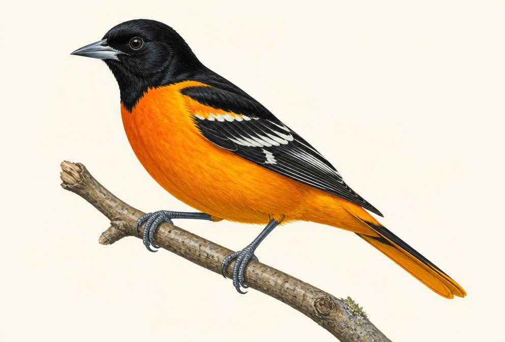
Painted illustration of a Baltimore Oriole
Likely this monthFall migration
Spring
early to mid-May
Fall
late August to September

Tap for recent sightings, where to go and today's light →

Males arrive before leaves fully open; early May cottonwoods along the Missouri River bottoms are prime. Oranges and nectar feeders bring them to eye level.

Illustration, not a field photograph · Real photos on All About Birds
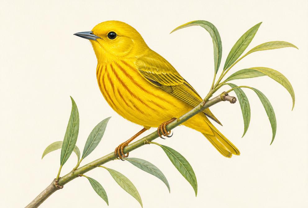
Painted illustration of a Yellow Warbler
Likely this monthFall migration
Spring
early to mid-May (representative of 25+ warbler species; peak warbler movement is mid-May)
Fall
late August to September

Tap for recent sightings, where to go and today's light →

Willow thickets at eye level in morning light. In mid-May, Tennessee, Magnolia, Blackburnian, American Redstart, and Blackpoll warblers move through in the same week.

Illustration, not a field photograph · Real photos on All About Birds

Historical photo evidence (0)

These are historical public posts collected as supporting evidence. They are not live sightings and do not guarantee current bird activity. Photos are not copied here — each entry links to the original post.

No collected post is mapped to this place. Several posts name only free-text locations — see the evidence log for those.

DirectionsMap