Skip to content
ND Bird Photography

McKenzie Slough WMA

Wildlife Management Area · Prairie Pothole Region · Prairie Pothole Region; 736-acre prairie slough complex just east of Bismarck

DirectionsShow on map
WMAWildlife Management AreaApproximate pin46.81000, -100.41000

Location

Loading map…

Approximate pin — a planning reference for the general area, not a trailhead or parking guarantee.

Best windows

March to May spring migration (ibis and stilt window in April); fall waterfowl

Peak months in the record: Mar, Apr, May, Sep, Oct

J
F
P
P
P
J
J
A
P
P
N
D

Sunrise, sunset, light and weather

Pick any day of the coming week for sunrise, sunset, the low-light windows and the forecast at McKenzie Slough WMA.

Working out this week's days…

Weather at McKenzie Slough WMA

Open the map for this day

Access, fees and cautions

Unverified access note

Access notes

Roadside viewing off I-94 Exit 176 and section roads (223rd St SE is a known sub-hotspot); walk-in.

Fees

Free

Cautions

Right off the interstate, so expect traffic noise; fall hunting; wet spring roads.

Check current access

The notes on this page come from the guide's fixed records and can age. These links open what the managing agency publishes right now — always the last word on access.

Managing agency

North Dakota Game and Fish Department (Wildlife Management Area)

Agency pages are found by searching the place name, so the search may list nearby units too — no page here is a stored link to a specific trailhead or gate.

Your access check

No access check recorded for this place yet. Once you have confirmed the current rules with ND Game and Fish, mark it here so you can see how fresh your information is.

This only records that you checked. It never changes the guide's access notes and is not a statement from any agency.

Leaves at this place

Live observation

When leaves turned colour

Historical evidence

Nobody publishes an open fall-colour peak map, so these are the dates volunteers recorded coloured leaves in North Dakota — a handful of plants at a handful of sites, not a statewide peak. Use the official reports below for the wider picture.

Leaf-out and leaf-colour timing: USA National Phenology Network (usanpn.org).

Birds linked to this place (4)

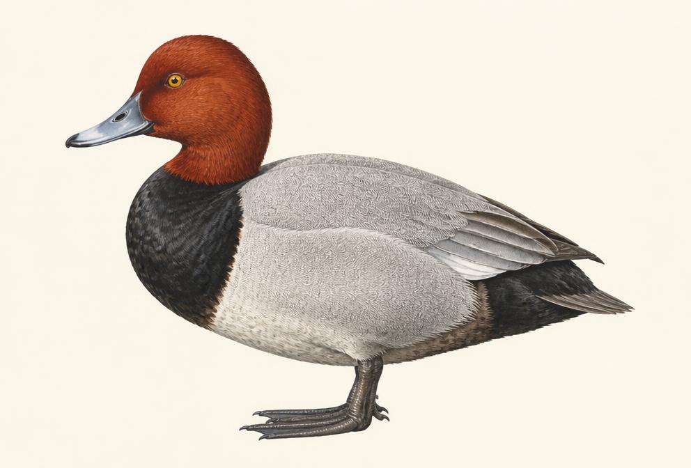
Painted illustration of a Redhead

Redhead

Waterfowl

Spring
early March to April
Fall
October to mid-December

Tap for recent sightings, where to go and today's light →

Diving-duck rafts at first light on big lakes; watch for late-fall concentrations before freeze-up.

Illustration, not a field photograph · Real photos on All About Birds
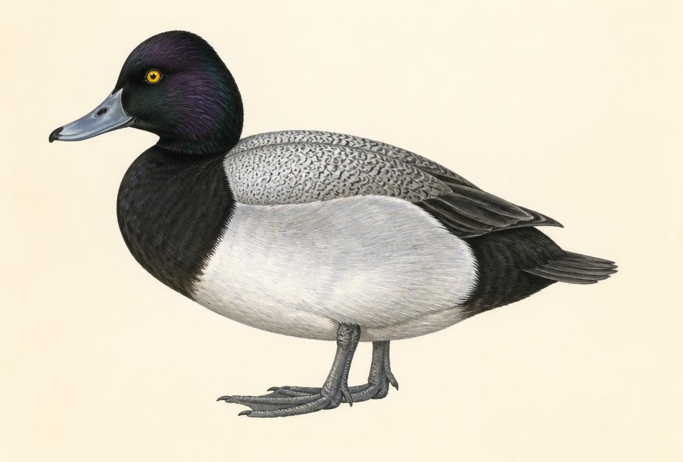
Painted illustration of a Lesser Scaup

Lesser Scaup

Waterfowl

Spring
early March to April
Fall
October to December (some into early January)

Tap for recent sightings, where to go and today's light →

Huge blue-bill rafts are a fall spectacle; shoreline vantage points at Devils Lake.

Illustration, not a field photograph · Real photos on All About Birds
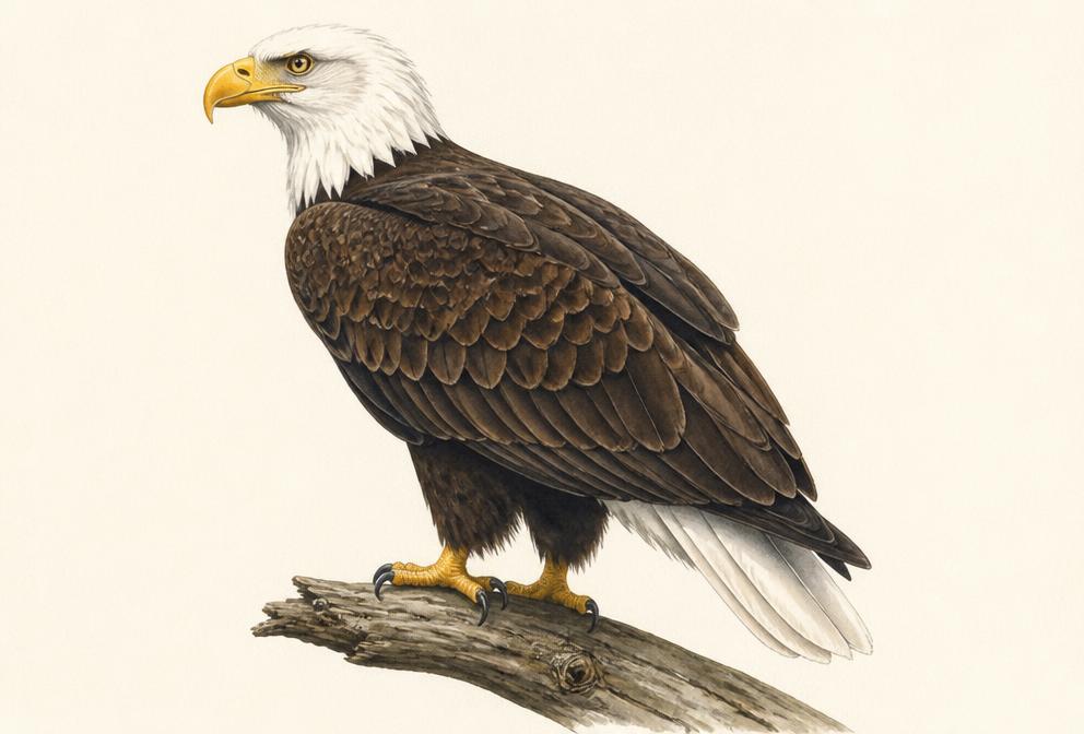
Painted illustration of a Bald Eagle

Bald Eagle

Raptors

Likely this monthFall migration
Spring
February to early April (nesting season)
Fall
September to November peak; many overwinter on open water

Tap for recent sightings, where to go and today's light →

The tailrace below Garrison Dam concentrates fishing eagles in late fall through winter; it is the single most reliable ND eagle photography site.

Illustration, not a field photograph · Real photos on All About Birds
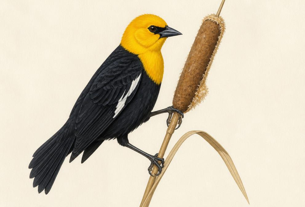
Painted illustration of a Yellow-headed Blackbird
Likely this monthFall migration
Spring
early to mid-April
Fall
September to October

Tap for recent sightings, where to go and today's light →

Dawn song posts on cattails; males sing with head thrown back. Get there at first light for the best poses and light.

Illustration, not a field photograph · Real photos on All About Birds

Historical photo evidence (1)

These are historical public posts collected as supporting evidence. They are not live sightings and do not guarantee current bird activity. Photos are not copied here — each entry links to the original post.

DirectionsMap